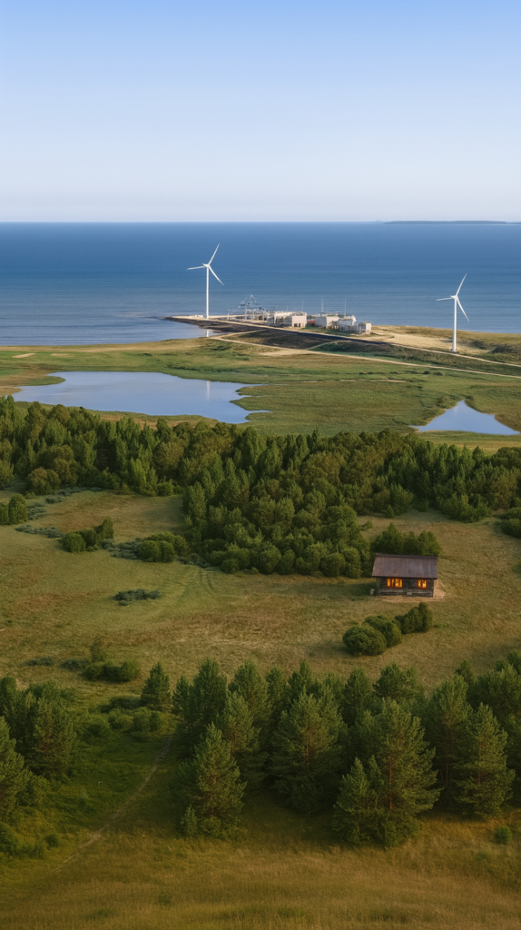
Atmospheric visualization study developed for a coastal landscape context in Saaremaa, Estonia.
The project combines CGI modeling, satellite-based spatial references, and manual post-production techniques to communicate both environmental character and spatial atmosphere. While the architectural intervention remains intentionally minimal, the surrounding coastline geometry, lagoon systems, and terrain conditions are closely informed by real landscape data.
The study forms part of the broader “Project O” research series exploring spatial identity, coastal conditions, and landscape-driven architectural thinking.
Type: Visualization study
Location: Saaremaa, Estonia
Software: CGI techniques • Manual composition & retouching • Photoshop
Status: Finished
Year: 2025