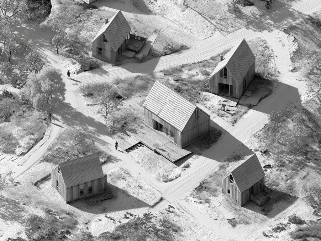
Postgraduate visual research project based on the revised edition of a Master’s thesis focused on landscape-driven settlement planning.
The study investigates how terrain, ecological systems, orientation, and regional landscape character can guide residential development beyond conventional zoning logic. The updated version expands the original academic work through professional experience, refined visual methods, and spatial analysis tools.
The project combines mapping, visualization, and conceptual planning to explore landscape not as background scenery, but as a structuring framework for spatial organisation.
Type: Research / Spatial analysis
Thesis: Considering the Landscape Character of Saaremaa in Planning Residential Areas
Focus: Landscape structure • Settlement planning • Spatial identity
Year: 2025